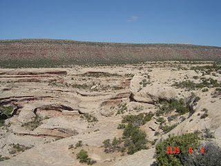


 Church rock - you can even see a "door" at the bottom.
 one of the long bridges
 notice the sun coming through the bridge.
 close up of one of the bridges
A few shots from Canyonlands National Park. This area is know as the Neck-the road straddles two sides of the canyon. If you click to make it bigger it is easier to see.
 the view below after a long hike up the mountain.
 Bil following up the mountain to get a great view of the canyons.
 In the early 1900's John Shafer & other ranchers drove their cattle down this trail in winter to the sheltered canyons. It drops 2100 feet and was more rugged back then and cattle would slip off the cliff. The uranium boom in the 1950's caused them to widen the road for vehicles.

 Castle rock

 one of the walks we took in Canyonlands
(following are all Arches National Park) one of the stone walls
 One of the caves that is turning into an arch as time passes and the weather wears on it.
One of the arches in the distance.
 across the landscape.
 One of the arches as seen along the drive.
 This formation is known as Windows.
 many trees look like this across the park.
 Another formation along the way.
 The warning about enough water or dehydration.
 This is known as the Three Gossips.
 Balanced Rock sits and waits for it to topple perhaps years in the future.
 This is Delicate Arch.
No comments:
Post a Comment